May 5 2020
At the University of Southampton, scientists have successfully plotted the global sites of top renewable energy locations, offering a useful resource to help predict their possible impact on the environment.
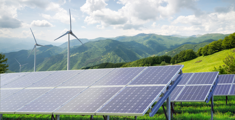
Image Credit: geniusksy/Shutterstock.com
Published in the Nature journal Scientific Data, the researchers’ study revealed the locations of wind and solar farms across the world—signifying their infrastructure density in various regions as well as the estimated power output. It is the world’s first global, open-access dataset of sites generating solar and wind power.
In global electricity generation, the projected share of renewable energy was more than 26% towards the end of 2018, with wind turbines and solar panels being the largest drivers of a fast increase in renewable energy, to date. But in spite of this, little was known about the geographic distribution of solar and wind farms, and only limited accessible data was available, until now.
While global land planners are promising more of the planet’s limited space to wind and solar energy, governments are struggling to maintain geospatial information on the rapid expansion of renewables. Most existing studies use land suitability and socioeconomic data to estimate the geographical spread of such technologies, but we hope our study will provide more robust publicly available data.
Sebastian Dunnett, Lead Researcher and PhD Student, Biological Sciences, University of Southampton
While wind energy and solar energy provide several environmental advantages, they can also have a negative impact locally on wildlife and ecology.
The scientists are hoping that if the development of the wind and solar farms is precisely mapped, they can give a better understanding of the footprint of renewable energy on sensitive ecosystems and assist planners to evaluate these kinds of impacts.
The authors of the study utilized data obtained from an open-access, collaborative global mapping project—OpenStreetMap (OSM). They subsequently extracted the assembled data records labeled “wind” or “solar” and then cross-referenced these with certain national datasets to achieve the most optimal estimation of power capacity and generate their own maps of wind and solar energy locations.
The data revealed the dominance of the renewable energy sector in East Asia, North America, and Europe, and the outcomes match quite well with the official independent statistics of the countries’ renewable energy capacity.
This study represents a real milestone in our understanding of where the global green energy revolution is occurring. It should be an invaluable resource for researchers for years to come, as we have designed it so it can be updated with the latest information at any point to allow for changes in what is a quickly expanding industry.
Felix Eigenbrod, Study Supervisor and Professor of Geography and Environmental Science, University of Southampton
Journal Reference:
Dunnett, S., et al. (2020) Harmonised global datasets of wind and solar farm locations and power. Scientific Data. doi.org/10.1038/s41597-020-0469-8.