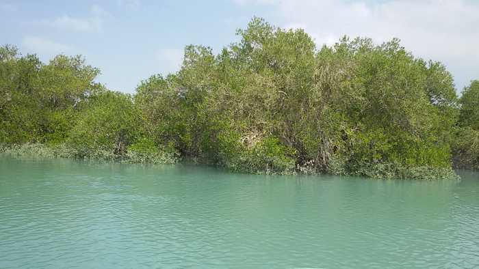
Mangrove ecosystems of Qeshm Island in the Persian Gulf, Iran. Image Credit: Neda Bihamta Toosi
One way to stimulate effective mangrove conservation and encourage policies for their protection is to carefully assess mangrove habitats and how they change, and identify fragmented areas. However, getting this type of information is not always easy.
In a recent study published in the journal Nature Conservation, Dr. Neda investigated how machine learning could be used to categorize these delicate ecosystems.
The researchers compared how well each strategy for mapping mangrove ecosystems performed using various combinations of satellite images and classification techniques.
Dr. Bihamta Toosi added, “We developed a novel method with a focus on landscape ecology for mapping the spatial disturbance of mangrove ecosystems. The provided disturbance maps facilitate future management and planning activities for mangrove ecosystems in an efficient way, thus supporting the sustainable conservation of these coastal areas.”
According to the study’s findings, mangrove land use and land cover classification could be made substantially more accurate using an object-oriented classification of fused Sentinel images.
“Assessing and monitoring the condition of such ecosystems using model-based landscape metrics and principal component analysis techniques is a time- and cost-effective approach. The use of multispectral remote sensing data to generate a detailed land cover map was essential, and freely available Sentinel-2 data will guarantee its continuity in future,” Dr. Bihamta Toosi continued.
According to the study team, this method could offer information on the pattern of land cover changes that impact the growth and maintenance of mangrove ecosystems, assisting in improved planning and decision-making.
The study authors added, “Our results on the mapping of mangrove ecosystems can contribute to the improvement of management and conservation strategies for these ecosystems impacted by human activities.”
Journal Reference:
Soffianian, A. R., et al. (2023) Evaluating resampled and fused Sentinel-2 data and machine-learning algorithms for mangrove mapping in the northern coast of Qeshm island, Iran. Nature Conservation. doi:10.3897/natureconservation.52.89639