Copernicus, also known as 'Europe's eyes on Earth', is transforming our understanding and planning for the most sustainable use of valuable resources on Earth.
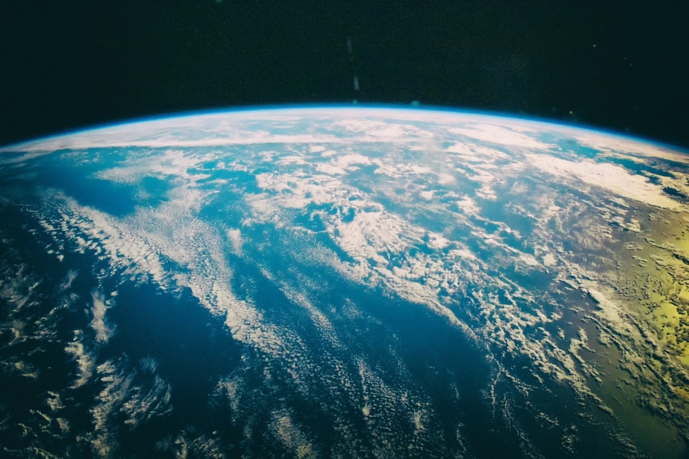
Image Credit: Vladi333/Shutterstock.com
What is the European Copernicus Earth Observation Program?
Copernicus is the Earth observation and monitoring initiative of the European Union, which investigates the planet and its surroundings. The program, directed by the European Commission, provides free operational data and information services for various application areas, utilizing a vast array of technology ranging from satellites in space to ground-based stations.
Copernicus provides accurate and timely earth observation data to help decision-making on everything from urban planning, transportation routes, and green areas to precision agriculture and forest management.
It also assists governments and organizations in developing environmental legislation and successfully monitoring its implementation.
What is the Copernicus Programme?
Video Credit: Copernicus EU/YouTube.com
What Does This Program Aim To Achieve?
The program aims to achieve a global, high-quality, autonomous, and wide-ranging Earth observation research capacity. It strives to improve environmental management, mitigate climate change, and maintain civic safety by providing accurate, timely, and conveniently available information.
Objectives
The main objective of Copernicus is to observe the environment to better understand the environmental changes that occur on Earth, the reasons for these changes, and their influence on our lives. This will help contribute to the protection of the environment, health, and citizen security.
History/Background
Numerous national institutions have invested a lot of time and money in Earth observation research and development throughout the years. However, the products and services developed during this time were constrained by the restrictions of research and development.
The EU Member States launched the Coordination of Information on the Environment (Corine) program in 1985, and it was Europe's first coordinated effort to map land cover on its soil. In this project, land management professionals used a combination of ground measurements and expensive and low-quality aerial images.
The concept of a continuous and global European Earth observation system was initially created under the name of Global Monitoring for Environment and Security (GMES). The Copernicus program was formed in 2014 by Regulation (EU) No 377/2014, expanding on the foundation of GMES.
Collection of Data
Copernicus collects and analyzes data obtained from the following sources:
Data from Space
Copernicus is backed by a constellation of satellites known as EU Sentinel, which were built specifically to fulfill the requirements of Copernicus and its users. In 2014, the first satellite was launched (Sentinel-1A) to carry out its mission.
Copernicus can rely on Sentinel satellites to deliver high-quality data on a regular basis. Copernicus also uses "participating missions," managed by the satellites of various organizations such as the European Space Agency (ESA).
Data by Land, Sea and Air
Copernicus depends on a vast number of in-situ measurement equipment made accessible to the program by the EU Member States. This equipment is then installed on ships and airplanes to validate, calibrate, and supplement the satellite information.
Transformation of Data
Copernicus services process and analyze the data from satellites and on-site systems to transform it into value-added information. To make it easier to track changes, the data sets, stretching back years and decades into the past, are organized to allow detailed comparison and research.
Patterns are examined and used to make more accurate forecasts. Maps are created from image representation data, features and anomalies are identified, and statistical information is extracted.
Copernicus Services
The following Copernicus services are used to streamline the collected data:
Emergency Management: Providing information to aid in disaster response and support for emergency services.
Land Monitoring: Urban planning, development, soil sealing, and other applications benefit from land cover and land use data.
Marine Environment Monitoring: A service that provides information on the oceans, coastal areas, and shipping.
Atmosphere Monitoring: Air quality and compliance with international accords can be monitored with information on atmospheric composition.
Climate Change Monitoring: Creating climate data and forecasting systems.
Security: The EU's exterior borders and marine surveillance are monitored.
Copernicus is Accessible to Everyone
The data provided by the satellites and Copernicus services is freely available to users. This data is primarily accessible through technical and scientific platforms such as the Open Access Hub or the Data and Information Access Services (DIAS) platforms.
There are even several non-technical platforms to explore the images obtained by the constellation of satellites. One of the easiest to receive satellite images without much technical knowledge is the Sentinel Hub. These pictures can be used to observe the beauty of the Earth or disaster-affected areas.
Future Developments
Copernicus has grown to become the world's largest provider of geospatial data. It is easy to access most of its data free via traditional data platforms or cloud platforms such as DIAS.
The new electronic governments and digital economy systems are using this data for sustainability management and monitoring developments, climate change and the environment, transportation, urban planning, and smart cities.
As part of the Copernicus program, the European Union is considering six additional high-priority future missions that would fill in monitoring gaps and examine surface temperatures, vegetation, carbon dioxide levels, polar ice, and sea surface salinity.
In this way, new possibilities for the public and commercial sectors can be generated while achieving sustainable development goals.
References and Further Reading
Copernicus. (2022). Impact of Copernicus. [Online]. Available at: https://www.copernicus.eu/en/about-copernicus/impact-copernicus (Accessed on 16 May 2022).
Jutz, S., & Milagro-Pérez, M. P. (2020). Copernicus: the European Earth Observation programme. Revista de Teledetección, (56). https://doi.org/10.4995/raet.2020.14346
Liang, S. (2017). Copernicus Program. Comprehensive Remote Sensing (pp. 150-191). Elsevier. https://doi.org/10.1016/B978-0-12-409548-9.10317-3
Disclaimer: The views expressed here are those of the author expressed in their private capacity and do not necessarily represent the views of AZoM.com Limited T/A AZoNetwork the owner and operator of this website. This disclaimer forms part of the Terms and conditions of use of this website.