As wildfires become increasingly frequent and severe due to climate change, advanced satellite technology, paired with artificial intelligence (AI), is becoming more crucial than ever in fire prevention and control.
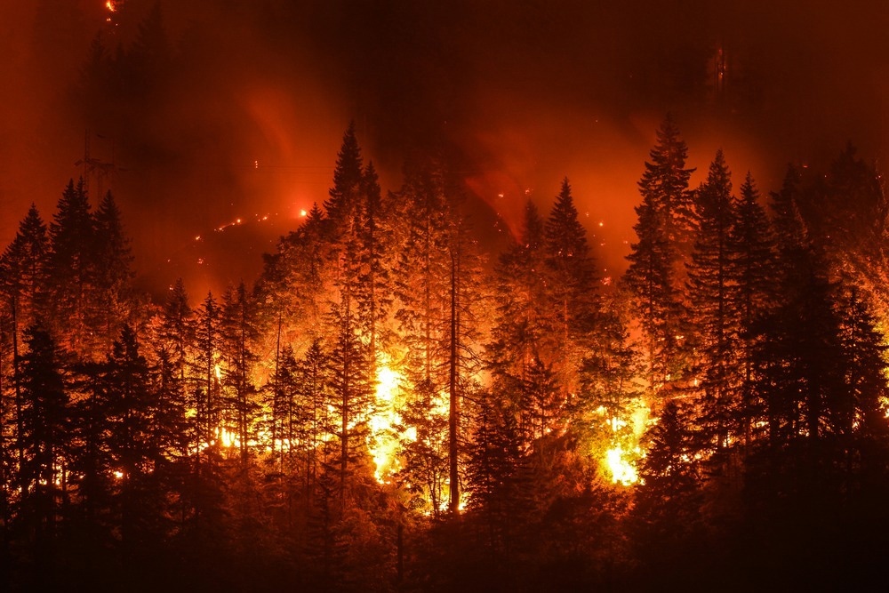
Image Credit: Christian Roberts-Olsen/Shutterstock.com
This article comprehensively explores how these innovative technologies are reshaping the landscape of wildfire monitoring on a global scale.
As global temperatures rise, leading to drier conditions and extended fire seasons, wildfires have become more frequent and severe, posing a significant risk to natural ecosystems and human communities.
The economic cost of wildfires is immense, with billions of dollars spent annually on damage control, rehabilitation, and recovery efforts. In 2022, the economic costs and damages resulting from wildfires in the United States alone range from $394 billion to $893 billion (JEC, 2023).
The environmental impacts are also profound, resulting in biodiversity loss, habitat destruction, and long-term ecological imbalances.
What Makes Satellite Imagery Crucial in Today's Wildfire Management?
Satellite imagery has become an indispensable tool in wildfire management. Unlike traditional methods that often struggle with timely data collection, especially in remote and inaccessible areas, satellite technology offers real-time data and comprehensive global coverage.
This capability is vital for effectively predicting and managing wildfires, as accurate simulation requires up-to-date information on local weather, terrain, and fuel characteristics (NCAR, 2023).
The use of Sentinel satellites from the European Space Agency's Copernicus program exemplifies this shift. Sentinel-1 aids in identifying vegetation type through surface texture analysis, while Sentinel-2 assesses plant health from its "greenness." When integrated into AI models like the "random forest" survey, this data significantly enhances the accuracy of wildfire predictions.
Integrating Synthetic Aperture Radar (SAR) with deep learning, as shown in Sentinel-1 SAR time series studies, has also proved effective in near real-time wildfire progression monitoring (Ban et al. 2020).
This innovative approach, capable of penetrating clouds and smoke, marks a significant advancement over conventional methods, enabling more precise and timely responses to wildfires.
Satellites, such as NASA's FIRMS, have proven to provide 24/7 global surveillance, detecting hotspots and providing near real-time information on wildfires. This system has been instrumental in delivering alerts and data across the globe, underscoring the critical role of satellite technology in contemporary wildfire management (Blumenfeld, 2019).
How Is AI Transforming Wildfire Prediction and Response?
AI is revolutionizing wildfire prediction and response, particularly through integration with satellite data. AI models, such as the "random forest" algorithm, enhance the accuracy of wildfire behavior predictions, significantly aiding in developing effective suppression strategies.
This technological leap is demonstrated by AI’s ability to rapidly update existing fuel maps, as seen in the East Troublesome Fire case. During this incident, the AI model, fed with data from Sentinel satellites, accurately revised the LANDFIRE fuel dataset, significantly improving the prediction of the fire's spread (NCAR, 2023).
The combination of Sentinel-1 Synthetic Aperture Radar (SAR) time series with deep learning frameworks like Convolutional Neural Networks (CNNs) has further advanced near-real-time wildfire monitoring.
This approach, employed to monitor wildfires like the 2017 Elephant Hill Fire and the 2018 Camp Fire, demonstrates AI’s ability to detect and track the progression of wildfires with high accuracy (Ban et al. 2020).
Who Is Leading the Charge in Satellite-Based Wildfire Monitoring?
ICEYE is a notable leader in satellite-based wildfire monitoring, offering cutting-edge Synthetic Aperture Radar (SAR) technology. As a result, ICEYE provides rapid, reliable, and precise building-level damage assessment, regardless of weather, light, and smoke conditions.
The all-weather capabilities and consistent data acquisition are critical for an effective response to wildfire events. ICEYE's SAR constellation combines earth observation insights with advanced data analytics and machine learning, delivering actionable data every 24 hours during impactful wildfire catastrophes (ICEYE, 2023).
This approach enhances decision-making and operational efficiency in wildfire emergencies.
Spire Global and OroraTech are also at the forefront of satellite-based wildfire monitoring. They have collaborated to launch an eight-satellite constellation by mid-2024 dedicated to global temperature monitoring and wildfire detection (Zanoni, 2023).
This constellation will carry OroraTech's thermal-infrared optical payload, offering real-time detection and continuous monitoring of wildfires. OroraTech's precursor sensor, already in orbit, has proven effective and is supporting fire agencies like SOPFEU in Quebec, Canada. This collaboration exemplifies the use of space technology in addressing critical environmental challenges like wildfire management.
Future Developments in Satellite Technology for Wildfire Monitoring
The future of satellite technology and AI in wildfire monitoring is poised for significant advancements. Emerging trends include the development of more sophisticated AI algorithms for enhanced prediction and analysis, as well as the integration of next-generation satellite sensors offering higher resolution and more frequent data updates.
These advancements are expected to improve the accuracy and timeliness of wildfire detection, enabling more effective prevention and response strategies.
However, challenges such as data management complexity, the need for robust machine learning models capable of handling diverse environmental variables, and ensuring timely data transmission in emergency scenarios remain key areas for research and development.
The potential of these technologies to transform wildfire management is immense, promising more efficient and proactive approaches to mitigating the increasing threat of wildfires globally.
References and Further Reading
Ban, Y., Zhang, P., Nascetti, A., Bevington, AR., Wulder, MA., et al. (2020) Near Real-Time Wildfire Progression Monitoring with Sentinel-1 SAR Time Series and Deep Learning. Scientific Reports. doi.org/10.1038/s41598-019-56967-x.
Blumenfeld, J. (2019). Wildfires Can't Hide from Earth Observing Satellites. [Online] NASA Earth Data. Available at: https://www.earthdata.nasa.gov/learn/articles/wildfire-articles/wildfires-cant-hide-from-earth-observing-satellites (Accessed on 12 December 2023).
ICEYE. (2023). ICEYE wildfire insights. [Online] ICEYE. Available at: https://www.iceye.com/solutions/wildfire-monitoring (Accessed on 12 December 2023).
JEC. (2023). Climate-exacerbated wildfires cost the U.S. between $394 to $893 billion each year in economic costs and damages. [Online] Joint Economic Committee. Available at: https://www.jec.senate.gov/public/index.cfm/democrats/2023/10/climate-exacerbated-wildfires-cost-the-u-s-between-394-to-893-billion-each-year-in-economic-costs-and-damages (Accessed on 12 December 2023).
NCAR. (2023). Improving Wildfire Prediction with Cutting-Edge Satellite Imagery and Artificial Intelligence (AI). [Online] NCAR Research Applications Laboratory. Available at: https://ral.ucar.edu/solutions/benefits/improving-wildfire-prediction-cutting-edge-satellite-imagery-and-ai (Accessed on 12 December 2023).
Zanoni, L. (2023). OroraTech Selects Spire Global to Provide Eight Satellites for Wildfire Monitoring Constellation. [Online] Business Mondays. Available at: https://businessmondays.co.uk/ororatech-selects-spire-global-to-provide-eight-satellites-for-wildfire-monitoring-constellation/ (Accessed on 12 December 2023).
Disclaimer: The views expressed here are those of the author expressed in their private capacity and do not necessarily represent the views of AZoM.com Limited T/A AZoNetwork the owner and operator of this website. This disclaimer forms part of the Terms and conditions of use of this website.