Image Credit: GFZ German Research Centre for Geosciences.
The sinking water level poses several hazardous impacts. For instance, the fresh groundwater flowing downstream dissolves the salts present in the soil, leading to the formation of sinkholes. However, it also creates large-scale subsidence of the surrounding land area.
The study was published in the Scientific Reports journal.
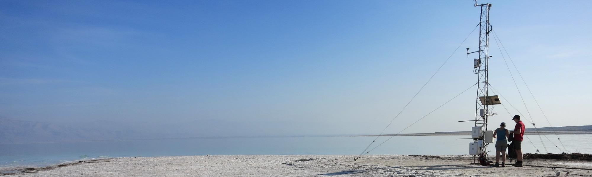
The researchers employed a vast range of instruments, varying from measurement methods based on the Global Navigation Satellite System (GNSS) to radar satellites and on-site gauge and climate stations.
They demonstrated that the solid Earth can move up and down in tandem with fluctuations in the water surface and groundwater levels with a time delay of around eight weeks. Yet, evidently, this trend is in one direction: downward.
The Dead Sea’s water level sinks nearly 1 m annually, while the land sinks around 15 cm annually. The inflow of water from the neighboring mountains and the Jordan River results in short-term increases in the lake level. However, the extraction of water from the tributaries for agriculture, pumping of saline water to extract potassium and evaporation in the high temperature cause a permanently negative balance.
The connection of land subsidence to the sinking water table has been evident for a long time. However, the direct relationship between the land surface and hydro-meteorological fluctuations is new. The scientists identified this link within three years. The phenomenon causes a threat to tourism, agriculture and infrastructure in the surrounding region.
The measurements reveal, for the first time, the close link between air, water and land.
Journal Reference:
Vey, S., et al. (2021) Delayed subsidence of the Dead Sea shore due to hydro-meteorological changes. Scientific Reports. doi.org/10.1038/s41598-021-91949-y.