Nearly 85 percent of all wildfires in the United States are caused by humans, but better prediction systems could help first responders mitigate more of these disasters. Image Credit: Getty Images
Fires are essential to many ecosystems because they serve to remove plant debris, make smaller species’ habitats safer, and destroy disease. However, as Earth’s climate continues to get warmer and drier, there is a growing chance and severity of large-scale, uncontrolled fire occurrences that cause extensive environmental harm.
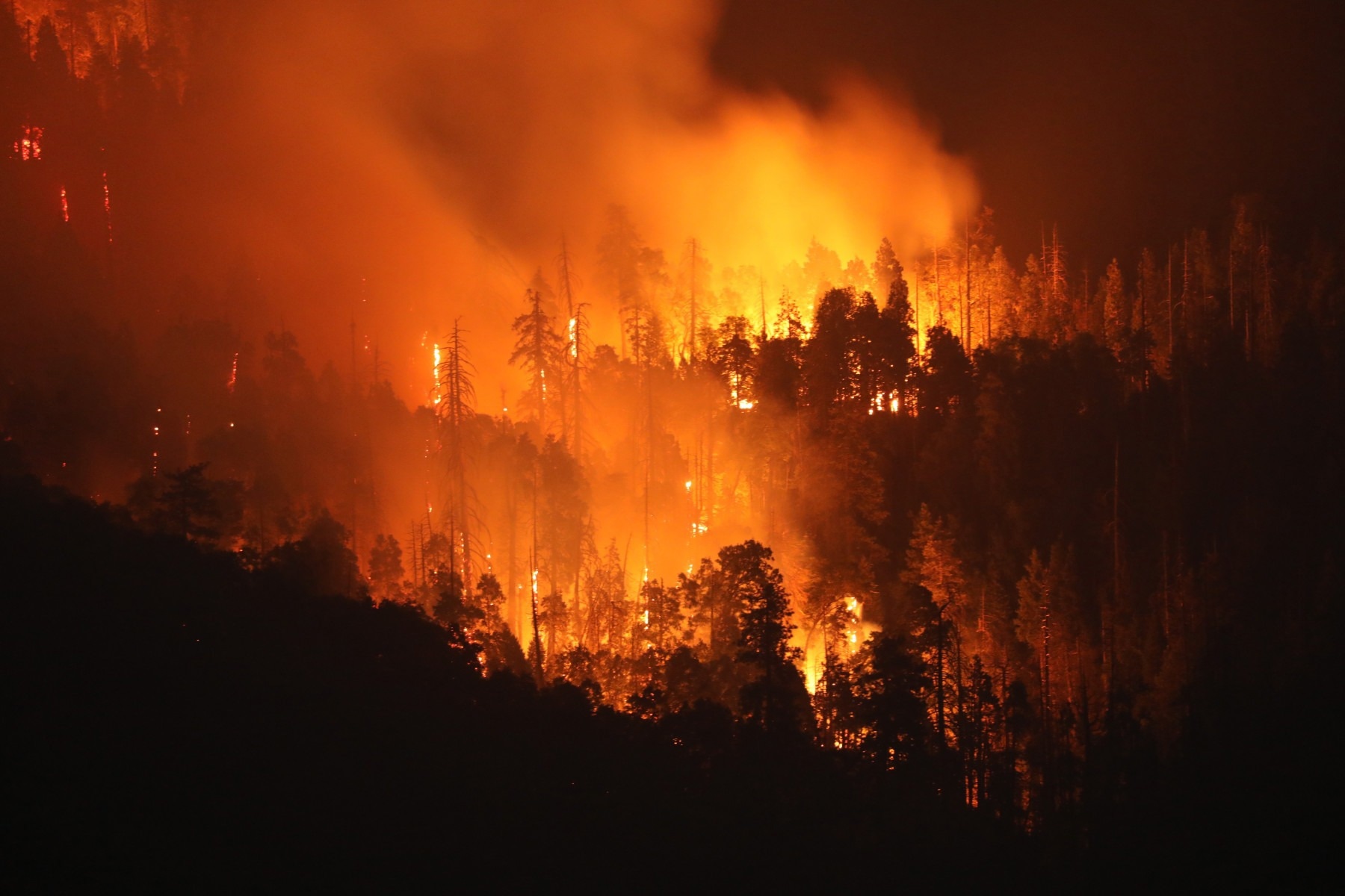
More than 25 million acres of land were destroyed by wildfires in the United States between 2020 and 2023. Millions of people who live close to these at-risk locations are probably affected by property loss, increased flooding risks, and smoke plumes from wildfires.
According to Dustin Horton, an Ohio State doctorate student studying electrical and computer engineering and the principal author of a recent study on the topic, these consequences highlight the need for improved detection systems. The study focuses on enhancing conventional methods for identifying major fires and enhancing land management regulations connected to wildfires.
There’s a variety of prediction models that the government and different agencies use to predict and assess what an area might look like each wildfire season. But a lot of those programs in recent history rely on a variety of remote sensing methods, such as optical sensors that have a lot of inherent disadvantages.
Dustin Horton, Study Lead Author and Ph.D. Student, Electrical and Computer Engineering, The Ohio State University
For example, smoke from wildfires or other atmospheric disturbances, such as clouds or sunlight, can obscure systems that employ optical sensors to examine targets, such as LiDAR. At night, other passive sensors may be less effective. In the end, these constraints make it harder for scientist to gather precise measurements in a rapidly changing scenario. According to Horton, these kinds of setbacks can be catastrophic for organizations trying to determine how many resources or emergency personnel are required to safely manage a big fire.
At the American Geophysical Union’s annual meeting on December 15th, 2023, the research was presented at a poster session. The poster proposes that combining wildfire prediction models with SAR can be one way to enhance them. Models such as the National Fire Danger Rating System allow users to evaluate the likelihood of a fire in a certain location over the next several days.
According to Horton, unlike optical or satellite infrared sensors, SAR utilizes radar to create high-resolution two-dimensional or three-dimensional reconstructions of terrain, making it an especially effective device for environmental mapping research. Additionally, since SAR remote sensing technologies can operate successfully during the day, night and inclement atmospheric events, it provides scientists the ability to finely measure an area’s surface geophysical, hydrological and meteorological properties at key spatial distances with ease.
In addition to tracking a wildfire’s entire life cycle and aftermath, researchers noted during the presentation that using SAR as an alternative wildfire sensing method holds great potential for identifying and monitoring other factors that may contribute to the creation of flame-prone areas, such as the region’s soil moisture content or the types of nearby vegetation.
The study’s conclusion noted the potential utility of aircraft SAR-based platforms for future large-scale studies of Earth phenomena, including wildfires. One such project is the NISAR mission, a joint venture between NASA and the Indian Space Research Organization (ISRO), which is scheduled to launch in early 2024. The mission’s goal is to map the entire planet in an attempt to give the public more precise information about how climate change is affecting the planet’s crust.
According to Horton, his team will keep testing SAR as a potential next-generation tool for assessing wildfires, but they also aim to utilize the data the mission gathers to improve their own wildfire prediction algorithms. Meanwhile, according to Horton, integrating cutting-edge technology with time-tested fire services is largely responsible for improving the understanding of and ability to put out wildfires.
Horton further added, “Scientists can now identify areas with conditions where everything is perfect for a burn, all the models say it will and sometimes it just doesn’t. Because the whole wildfire process is extremely complex, a lot of the heavy lifting still relies on the mitigation work of firefighters.”
Co-authors of the poster include Joel Johnson and Mohammad Al-Khaldi of Ohio State, Ismail Baris of the German Aerospace Center (DLR), Jeonghwan Park of NASA Goddard Space Flight Center and the Global Science and Technology Inc., and Rajat Bindlish of Goddard Earth Sciences Technology and Research.
Journal Reference
Horton, D., et al. (2023). ElectroScience Laboratory, The Ohio State UniversityNH51C-0470 Synthetic Aperture Radar Applications for Wildfire Risk Assessment and Monitoring. AGU23. doi/1410167.