Image Credit: Martynova Anna/Shutterstock.com
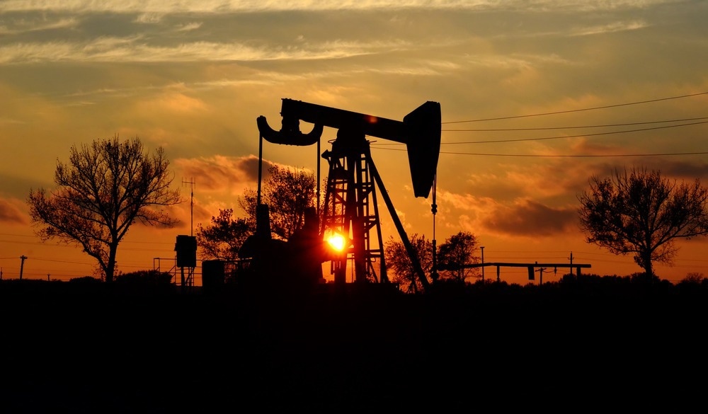
UOWs are abandoned drilling sites with no known ownership or precise location, often left unsealed. These wells, remnants of nearly 170 years of commercial drilling, present significant environmental challenges. They can leak methane, a harmful gas contributing to climate change and contaminating soil and groundwater. The unknown locations of these wells make it challenging to assess their potential threat and take preventive measures. Therefore, identifying these wells is essential to mitigate risks and prevent further harm.
In their study, the researchers used AI algorithms to process historical topographic maps provided by the United States Geological Survey (USGS) to identify UOWs. These maps, scanned and geotagged between 1884 and 2006, included symbols representing oil and gas wells. By training AI to recognize these symbols, the authors aimed to overcome the limitations and inaccuracies of traditional manual extraction methods.
The team began by manually marking symbols on approximately 100 historical maps from California, creating a foundational training dataset for the AI. This process helped the AI differentiate relevant symbols from false positives, such as non-well circular patterns.
The AI was then applied to a broader dataset of USGS quadrangle maps, georeferencing identified symbols with known well coordinates to improve precision. The algorithm specifically targeted symbols located over 100 meters away from documented wells to reduce false positives and uncover potential UOWs.
Advanced tools like drones and laser imaging were also integrated to complement data collection, highlighting the potential for combining AI and remote sensing in environmental research.
To validate the outcomes, satellite imageries and field surveys were conducted. These efforts confirmed the existence of identified UOWs, ensuring the reliability of the methodology. The study focused on four counties with significant historical oil production, Los Angeles and Kern counties in California and Osage and Oklahoma counties in Oklahoma, demonstrating the AI's effectiveness in diverse geographic areas.
Findings of Using AI Techniques to Unveils UOWs
The AI algorithms identified 1,301 potential UOWs across four counties with significant historical oil production. Researchers have successfully verified 29 of these wells through satellite imagery and an additional 15 through field surveys. This indicates that the AI improved the efficiency of locating UOWs and provided future solutions.
The results showed an average location discrepancy of approximately 10 meters between the AI-predicted and actual well locations. This level of accuracy highlights the potential of AI in environmental monitoring and risk assessment. By adopting a conservative methodology that minimizes false positives, the study ensured the robustness of findings, setting a high standard for accuracy in environmental monitoring and risk assessment.
Collaboration played a key role in this work, with contributions from the Consortium Advancing Technology for Assessment of Lost Oil & Gas Wells (CATALOG). This partnership, involving national laboratories and local stakeholders, was key in developing advanced tools and strategies for identifying and managing UOWs.
Applications of AI Beyond UOWs
The implications of this research extend beyond the identification of UOWs. Developed AI methodologies can be adapted for various environmental monitoring and management applications. For example, similar techniques could be employed to locate and assess other environmental hazards, such as abandoned mines, landfills, or contaminated sites, contributing to a more comprehensive understanding of environmental risks.
Conclusion and Future Directions
This study represents a significant advancement in applying AI to environmental research, offering a robust framework for identifying UOWs. The findings demonstrated an innovative approach to addressing environmental challenges by combining historical data with modern technology. The authors also emphasized the potential of refining AI algorithms and extending their applications to other regions and environmental concerns.
As the United States faces the legacy of past oil and gas drilling practices, managing orphaned wells has become an urgent priority. Initiatives like CATALOG aim to enhance these methodologies, ensuring their adaptability and effectiveness in diverse contexts.
The ongoing collaboration between scientists, local stakeholders, and technological innovations highlights the importance of interdisciplinary efforts in addressing UOW-related challenges. Overall, the important role of technology-driven solutions was emphasized for safeguarding the environment and leveraging historical knowledge to guide future actions.
Disclaimer: The views expressed here are those of the author expressed in their private capacity and do not necessarily represent the views of AZoM.com Limited T/A AZoNetwork the owner and operator of this website. This disclaimer forms part of the Terms and conditions of use of this website.
Source:
Ciulla, F. et al. (2024) A Deep Learning Based Framework to Identify Undocumented Orphaned Oil and Gas Wells from Historical Maps: A Case Study for California and Oklahoma. Environmental Science & Technology. https://doi.org/10.1021/acs.est.4c04413